
We depart Cape May before Dawn and 156 miles later arrive in Norfolk/Portsmouth at the bottom of the Chesapeake after a fairly peaceful open sea passage. Not much sailing, lots of motoring.


Another Dawn, I anchor off Hospital point and have a snooze. Rain arrives so I stay onboard. Ihad wanted to visit the OCC representatives here Greta and Gary as they had been so kind when I last visited. In the end I try to slip away as we are on a tight timescale. I am spotted by Gary who kindly uploads a photograph to Marinetraffic.

The blessing and curse of AIS, Everyone knows where you are! (but thanks Gary, and sorry we didn't meet)
And off the next morning early into the ICW, I am still travelling with Dima who is in Cheers and we travel in convoy. I stop for fuel at a dock full of cheering parents! there is a high school rowing regatta on the river, all boats are asked to avoid hitting them!

I see 10 or so boats, mostly 8's some 4's
I also see this lovely wee boat having fun on the ICW

And the scenery does not disappoint - there are variations over the next few days, tree lined rivers, flat marshlands, wider estuaries to cross, some lovely remote anchorages, not cursed with flies as November is approaching. Fairly cold at mile zero but a few days later I am in shorts and tee shirts again, it warms up very quickly as I head South.(in the 20's in South Carolina at mile marker 500)


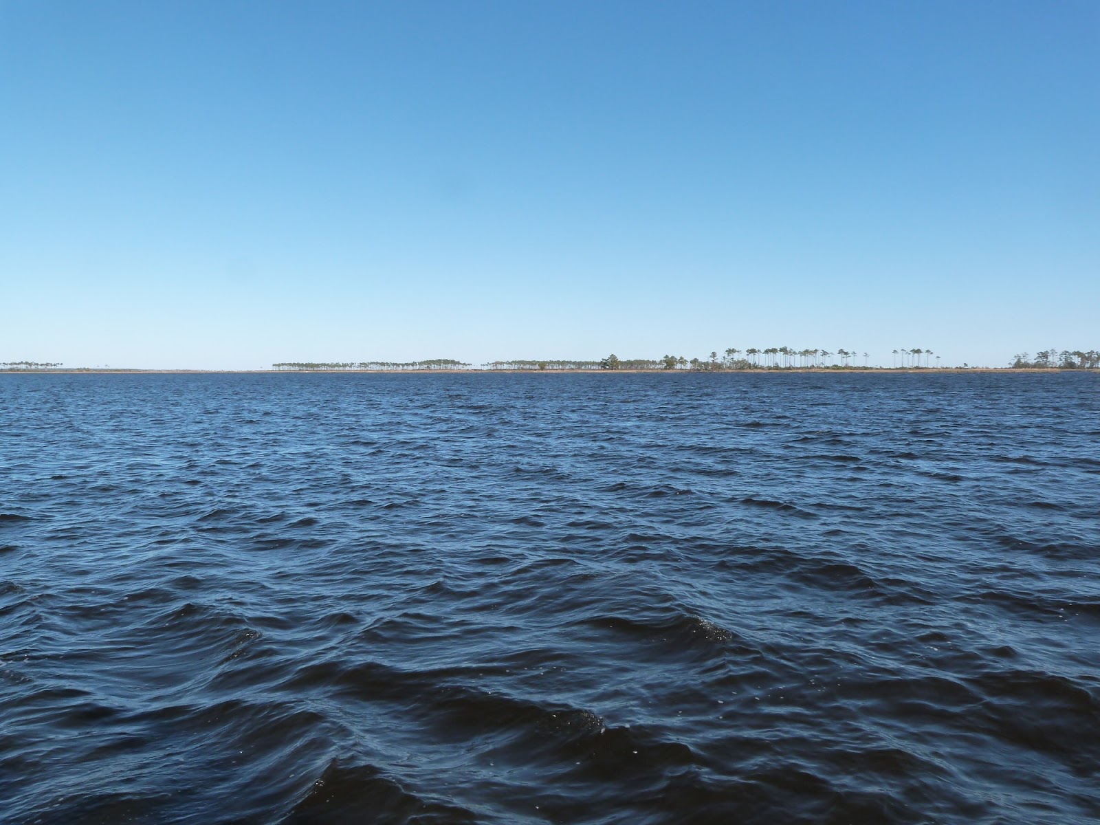
We leave the ICW and anchor a few miles away in a remote river,

There is Cheers anchored as the sun sets.

The ICW carries barges and tugs, which in some parts of the ICW would be a major problem, luckily this one passes at a wide part.


The boat below has a net out, there are lots of pleasure boats with rod fishermen as well.


A nice houseboat, and then into civilisation

The bridge is nearly always open, we take a dock in Beaufort NC and we get propane and vittles (and beer)
And then we leave Beaufort NC after I practice pronouncing the name - It is the same pronunciation as the Beaufort Dyke that is opposite Donaghadee in Northern Ireland, so the NORTHERN Ireland and the NORTHERN Carolina words sound the same, As opposed to Beaufort SC which is pronounced (roughly)( BEW-FORT) Think of the southern climes as causing smelly sweat "Phew" - Anyway, this is how I can remember it. The locals prefer it if you pronounce their town name correctly I am sure.
We head for the open sea - and I am amazed to see lots of fishermen and fisher women standing up to their chests in the water fishing - it is the 30th October and the temperature is nearly 20, but warmer in the sun. And there is lots of sun.


Nice beaches

Many boats going fishing and a few sailboats.

71 miles at sea, wind builds to 15 to 20 knots dead on the nose so no motorsailing. The seas are very strange, only 3 or 4 feet but very frequent, most of America seems to be shallow - we are in 20 to 30 .feet of water a lot of the time. An uncomfortable passage
We enter a well buoyed channel at 2 a.m. The buoys are not on the chartplotter as they are moved about to mark the moving channel. I thought the approach would have been difficult with the winds and sea but the wind goes light and there is some shelter from the land at this point. I had chosen this inlet because it was deep - scoured out to 30 to 40 feet. Many of the inlets have 10 or 12 foot bars and I would not head for these if wind was forecast.
The plethera of shorelights and lots of flashing red lights on radio masts ashore for aircraft warnings make for a tricky identification until I spot that there is a safewater mark blinking out the morse code for the letter 'A' ( dot-dash/short-long flashes) and it is the only such mark. I also spot, that of the 3 or 4 red and green lit buoys that the first pair blink the red and green in synchronisation - a very very useful idea! I had seen this on the way into Atlantic City. If you see 3 or 4 blinking lights of one colour, it is very hard to figure out which is the closest. The synchronisation of the first pair gets you mid channel to begin with. One of the red marks is unlit of course so some care is needed. We anchor behind the sandbar that is Wrightville beach, lots of waterfront properties on both sides of the beach

From OpenCPN, not to be used for navigation

And a satellite map from Google Earth
We anchor and have a lie in - we only have 20 miles to go. By going outside we avoided having to wait for a number of bridges and also having to pass a firing range which shuts the ICW for several hours.

And then we are in to the river and see lots of riverside properties


Shallow near the banks so they have to build long docks


Some parts are remote


I also photograph a lot of docks to see what chairs they are using, some Adirondacks but others as well. It is so hot in summer, people sit out here to capture some breeze.


Here are a few shots to show you the properties and gardens


Hard to see, the shed has racks to the roof and uses forklift trucks to launch and store boats


A garden!

Oh look a garden path


I took one of these photographs before. Sometimes the charts are not right!


The river is lovely - and stress free as it is deep, you keep to the middle of rivers in straight bits and to the outside of the curves. And away from tributaries that join in at rightangles. You get a feel were there is likely to be shoals.


And then the river widens out into marsh


Friends visit

Then back to civilisation - this is the Isle of Palms near Charleston.

Long dock


Friends again

It is ironic as the water temperature warms up 20 degrees I see notices about not feeding Aligators ot snakes... no swimming yet!
As I write this I am in Beaufort SC a mere 90 mile as the crow files from where I will meet Colin and Eileen for a trip to the Bahamas. I am getting a few jobs done. Things break on boats - the final straw was the handle of my kettle! but I do get a replacement. Jim Stewart had uploaded a few photographs on facebook of my first long sailing cruise - I crewed with Eamon on Jim's boat Arcturus and we circumnavigated Ireland in 1979.

I had more hair then!

Did I mention that Arcturus was 22 foot long?
That's all for now