
I am glad I stopped swimming around the boat when I got to Florida... He is about 4 feet long, I do not know how long his teeth are and have no wish to measure them. We meet this fellow near Brunswick. In terms of underwater life I see Dolphins most days, saw one Manatee (I think) and only one alligator. But the water is muddy...
Leaving St Augustine I am reminded that this part of America has quite shallow seas, the inlets need dredged and are still a difficult entry for small boats in any sort of bad weather, we leave in perfect conditions, but there are three or four boats engaged in dredging - and have floating pipes and a plethora of buoys blocking the inlet. However a radio call to the tug elicits instructions of how to weave pass them - I picture a tug boat skipper with a large wad of chewing tobacco in his mouth when he speaks on the radio and have difficulty making out the instructions - given in American English which is not my first language, John is able to translate however and we proceed safely. As a general point I find the American use of VHF radio verbose - they talk a lot, often with poor radio discipline. Not as bad as the Puerto Rico coastguards who speak twice as fast as they should - they should all speak sparingly and slowly. I even got a 10-4 from a bridge operator north of Savannah, she was not my good buddy however as she opened her bridge on the hour - on a Sunday when my book said it would open on request.

Later we also meet the Romulan spaceship below

These shrimp boats have booms that make them 120 feet wide, they have been known to go through bridges with the booms out either side, Boaters need to keep well away from them! In fact we anchor near two off Little Tiger island and it takes a while to decide if they are fishing the anchorage - they are not but have kept all their decklights on which masks their anchor light (and nav lights).
We come back inside and proceed through narrow and shallow passages, the marks are not always in the right place, the "magenta line" shown on the charts as the recommended track is not always in the right palce either and it is necessary to do a crazy Ivan on the helm every now again to sense the channel (you take a swing 30 degrees one way for about 4 seconds and the other way for 8 seconds and decide where is deepest. Outside of curves is usually deepest and at T junctions and Y forks you can usually guess where the holes and ridges are, takes practice and is definitly an important skill to gain.

The scenery and wild life are good however,


I hate seeing birds standing on one leg as shadowmere sails past.
We come to Jeckyl Island - about 8 miles short of Brunswick Town and decide to stop for the night and arrive at a boat dock the next day. John is to get a Greyhound bus from Brunswick and we decide to go into Brunswick city marina to make this convenient. Anchoring is free. Docks run at 70-80 bucks a night.

Looks a bit shallow North of the bridge!

We anchor South of the bridge just off a funfair which is pretty deserted and spot quite a few tourists - Jeckyl island is a "tourist island" and has some hotels in a concentrated settlement on the ocean side of the island (the island is about a mile wide and maybe 3 or 4 long. It also has a "historic Centre" and an airstrip as well as a golf course or two. We go ashore to explore
There is a public dock and slipway, there is an artifical lagoon used for fishing - and research by the University of Brunswick, they also buld bird platforms on30 foot poles - keeps predators at bay I suppose, and gives the birds nice views...


The lagoon has a water sports centre and a sculpture of a Whale - these migrate up and down the East coast of the states every year - not this one obviously as it would just sink.


We see trees with beards that look attractive and there is a tropical jungle alongside the road with built in footpaths... curiouser and curiouser.

We walk to the ocean and find a manufactured "town" full of tourists, shops, bars, beaches, hotels. It has an Irish pub that serves poor Guinness and gives John a Harp beer in a bottle without a glass. The bar is quite small is packed and has vast numbers of LCD screens showing baseball or basketball. Each cubicle that takes 4 people has its own screen. Behind the bar are 42 or 56 inch screens and above the bar stools are more - so the people on the bar stools do not obscure the views of people behind. Wierd.

There is a beach and a boardwalk but everyone is in the pub or the shops.

We see a map and notice there is a historic site a mile down the coast - we decide to visit it in the morning. We go by dinghy as there is no mention of a public dock. In fact there is a private dock that tourboats leave from that has some boats permanently moored, we are unable to get the boat up the beach as this area is wide mudflats and the tide is dropping fast. We ask and are allowed to leave the dinghy on the pontoon. It is a bit shallow (note the bird standing up)

We discover that Jeckyl island was owned by Carnegie and he created the Jeckyl Island club. This had JP Morgam and Rockefeller as members, fairly exclusive I imagine. In those days there was no bridge and people came by their private motor yachts (or ferries I suppose). I find this delightful plaque which contains the phrase
"If you have to consider the cost, you have no business with a yacht"

The buildings are well preserved but I do see one that reminds me of a Ballymena hammer - really old but it has had three new shafts and 4 new heads. Still the workmen are fitting roof shingles made of cedar wood, looks great.

As well as members' properties there are staff houses, dormitories and dining rooms.


Although provision was made for 240 properties we saw less than a dozen

As well as golf, there was tennis courts and swimming pools. (the river has alligators)
Mind you the electic lights cost £5 everytime you wanted to play at night.


We go back to the dock and discover the tide is still dropping and the channel is very narrow and must be very shallow - see the google earth map at the beginning of the post. We have an iced tea in the dockside cafe, and then move onto fish and chips while waiting for the tide to come in. On returning to the punt we discover that (a) we must now motor up current back to the boat and (b) we have run out of fuel (I discover a dripping fuel line a few days later which may account for our poor petrol consumption of the outboard.) I start rowing and after one thousand strokes (I counted them) we are more than halfway there. John takes over and at 500 strokes we arrive at Shadowmere. We got a lot of exercise - no bad thing. We carefully motor to Brunswick, I think the channel had less than 5 feet in it at low tide, Shadowmere needs over 6 feet. This becomes a thing over the next hundred miles and I have to learn to use the tide to get through shoaling channels <sigh> stressful and tedious.
And so to Brunswick.
Brunswick City marina is up a channel up a river, it is in the town and is a lovely marina - they offer free beer between 5 and 7 every night as an icebreaker in a lovely clubhouse and there are wine evenings and potluck supper nights too. Free laundry and Wifi makes the 80 bucks a night more palatable.


The town is totally blocked (laid out on a grid system, no drunks were seen anywhere). Each block is big and has lots of trees and small houses mainly - there is a main street down by the marina - mainly full of eating places and bars, with the usual plethora of pharmacies and lawyers. I have to go by bike to the other large road skirting the far side of town where I find a supermarket. Finding it hard to buy a loaf of bread has become a thing in these American towns, no corner shops despite having lots of people living in the towns, they all use cars...
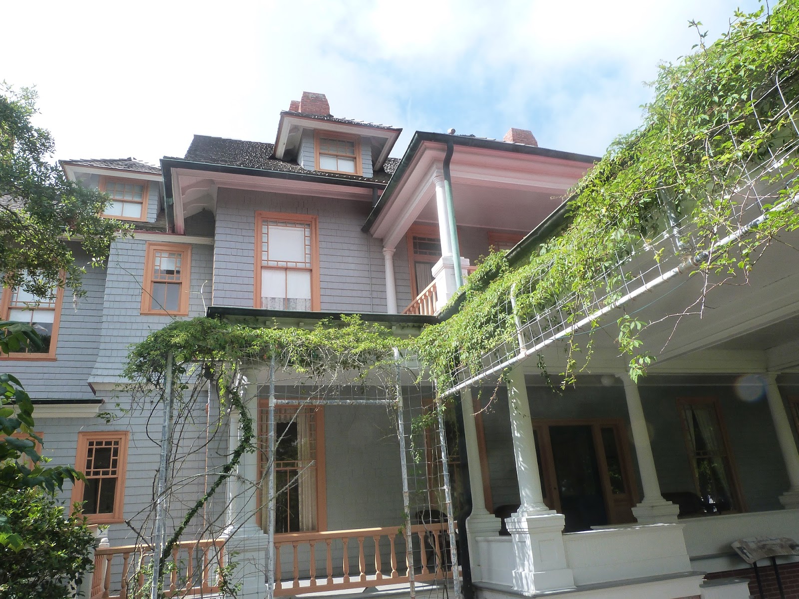
But the houses are nice, "folksey"


There are bigger ones and the county headquarters is an old brick affair.


Anyway I am on my own and wander about the town on the Sunday morning before leaving. The Monday is memorial day and I see a memorial with a bible sitting on top of it (I had seen a few people at it earlier, I hope the rain stays off and the owner returns). Memorial day remembers all who have fought for then American way I think, and I see the following;


Interesting that the War on Terror is remembered. Perhaps Northern Ireland should do more to remember our fallen.
I move on and motor northwards (generally - in practice you weave East and West and cross rivers)
On going down the river I have container ship and shrimp boat behind me - the shrimp boat is weaving about all over the place.


But I escape into a quiet channel and have miles of nature, interspersed with the odd clump of settlements, each house with its own dock but nowhere near the wall to wall proliferation that the conurbation of Southern Florida has.


Houses seem more reasonable in size (and cost)

John had told me that often the ground floor is not used for anything critical in case of flooding. It is handy to build houses in wood - if you are a carpenter, you can build a house!
I caught an estate agents window in a later town (Beaufort SC I think)

under 400k for a 1700 square foot house with water access is not as bad as I thought it would be.

I move on, still seeing birds standing on one leg to the left and right of me. In fact I am really glad I have a recording echo sounder, I use two chart plotters at once as the phone's charts are bang up to date - the American Federal government put the up to date charts on the web free - and I downloaded these to the phone a few weeks ago. Nonetheless unfortunately the charts are often wrong and shoaling can occur very rapidly, there are 3 or 4 places in the next 100 miles with less than 5 feet of water, fortunately there is a tidal range of 5-8 feet. This restricts me as I sometimes have to stop early for the night to ensure I go through the icky bits with a rising tide. Less stressful. At least the bottom is mud and causes no hurt if you do go aground.

I have reset the chartplotter to show land (statute) miles as this is what the pilotbook uses. And feet on the echosounder. The lower digit is the water temperature! 27 degrees, but I am not going swimming any time soon!
The foam fender was a present from the Adamsons from Cockle Island boat club. It has been invaluable - here to keep the plotter and sounder out of direct sunlight and I also like sitting on it or standing on it when at the wheel!
Onwards, I am currently at mile marker 400 in Georgetown. The going has been strangely tiring and I resolve to stop a bit more - I had wanted to press on and get a good stop in Norfolk to allow the boat to get lifted out. The journey has been really interesting and I have enjoyed (most) of it.
Brunswick was my 101st stop since leaving Belfast. And nearly 9,000 miles travelled so far. Roll on Nova Scotia...