Beautiful Maine
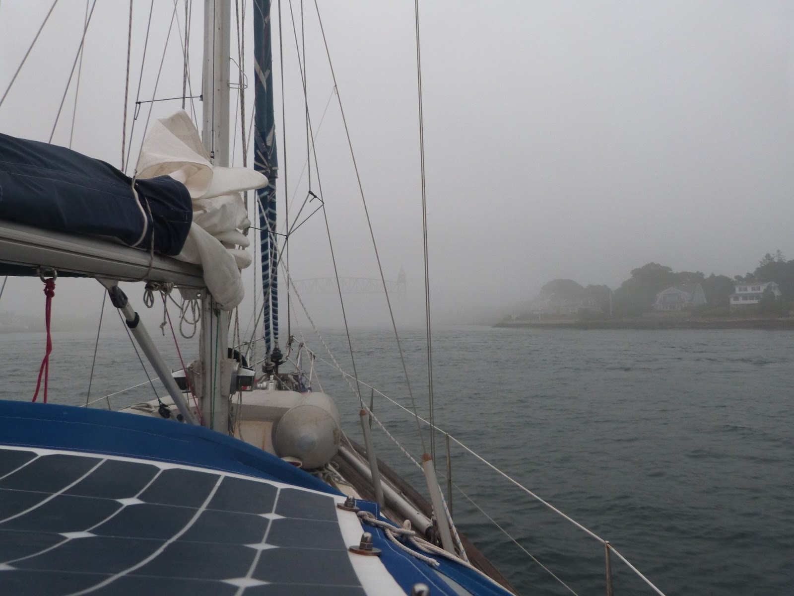
I leave Boston in thick fog using radar and crawling along just outside the shipping channel hoping no one else is doing the same. The fog clears after a couple of miles and I keep out from the coast. Boston is in Massachusetts and the next state up, New Hampshire has not a lot of coast and then you reach the longer coast of Maine. The chart below gives an overview of the area. The border between New Hampshire and Maine is near Portsmouth

And those names! Not very original! and remember I had been in New London and would end up in Dartsmouth, NS which is across the river from Halifax in Nova Scotia (beyond the righthand side of this diagram.
I stop at the Isles of Shoals, ironic as there are no shoals! but it is in the right place, just off the coast at Portland and I wouldn't have made Portsmouth in daylight so I pick up a "spare" mooring for the night. The isles of Shoals are lovely, there is an old hotel and some summer houses, amazingly peaceful and yet only a few miles out from the busy town of Portsmouth.
I stop at the Isles of Shoals, ironic as there are no shoals! but it is in the right place, just off the coast at Portland and I wouldn't have made Portsmouth in daylight so I pick up a "spare" mooring for the night. The isles of Shoals are lovely, there is an old hotel and some summer houses, amazingly peaceful and yet only a few miles out from the busy town of Portsmouth.


Interesting enough the state boundary splits the islands, the south three are in NH and the north ones in Maine! You can see the state boundary above.


And away in the morning, no fog thank goodness, I can see some on the mainland so being out to sea is a definite advantage.
I next drop the anchor in a gorgeous wee sheltered anchorage, I have to navigate through tens of thousands of lobster pots. Imagine one pot dumped into a tennis court and repeat that as far as the eye can see for miles in every direction. If they would lay them in lines you could pick a path, if they did what Portugal and Ireland do where they put one flag down and then run lines along the seabed between pots - they could put a hundred pots down and recover them much more efficiently. But no, one buoy or often two on each pot. <sigh>

Casco bay has a stack of lovely little islands, some with houses.some not. Parts of the bay are national park too I think. I pick an anchorage for the night from the chart and from the Active Captain App (a bit like trip adviser for sailing)


In the morning I leave by a narrow gap, knowing it is high water - tides are back! though ranges are only 5 feet or so. There are various golden sand beaches too, just realised the photos don't show these.


And then past a headland to Hupper Island and Port Clyde - a hamlet with a store, cafe and restaurant at a ferry pier.


Well buoyed, there are some shallow bits but easy enough apart from the pobster lots


I pick an anchorage half a mile from the hamlet and visit it the next day.


Lots of fishermen live here as well as people in summer houses


I get to buy a loaf of bread and some beer, what's not to like?

and they do coffee and buns, with free WiFi! (there has been poor phone reception in Maine - all other states have had full strength 4G 95% of the time.) the opening photograph is taken from here.
The dock at the general store has fuel, which I don't need but an Ocean Crusing Club (OCC) boat is taking on so I go and say hello - having joined the OCC a few months ago. They are heading south after an OCC rally in Maine that I was too late for.

And then to Belfast


Belfast - is 30 miles up from the extreme top right in the screenshot above